

Sport trails and routes
Hikes, trail courses, and orienteering. Explore and enjoy exceptional panoramas and preserved nature suitable for all levels.
Discover Courses Suitable for All
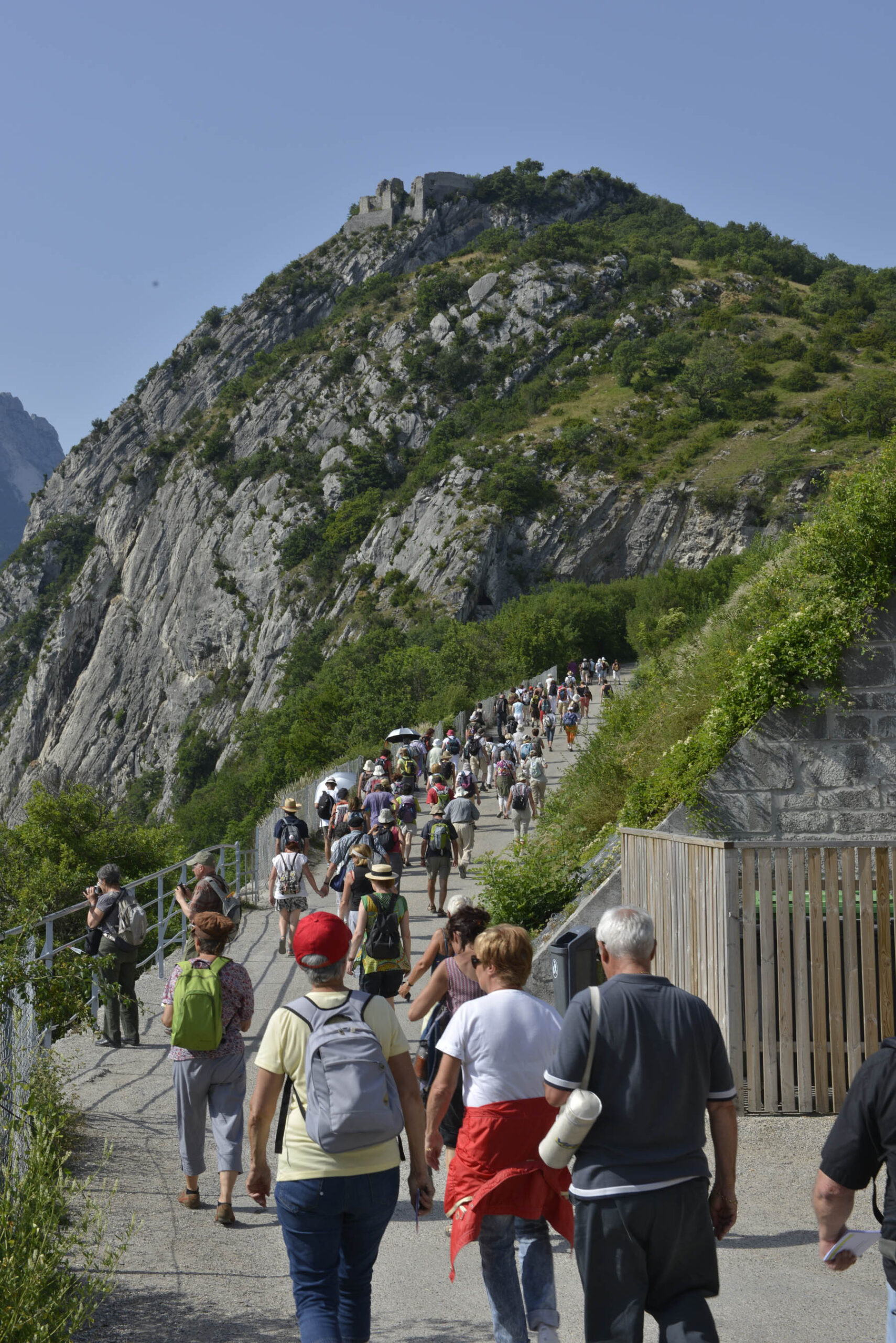
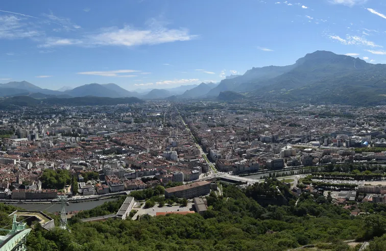
As a symbol of Grenoble and a gateway to the Chartreuse mountain range, the Bastille is the starting point for many trails. The Bastille offers a wide variety of marked paths, perfect for casual walkers, experienced hikers, and trail runners.
As you wander, enjoy exceptional views of the pre-Alpine Vercors mountain range and the Alpine Belledonne chain. Classified as a zone of floristic and faunistic interest, each trail offers the opportunity to discover Mediterranean-type vegetation and unique biodiversity.
From a simple family stroll to the most challenging trail courses, you’re sure to find something to suit your needs at the Bastille!
Accessible to all : From 5 years old to over 70’s!
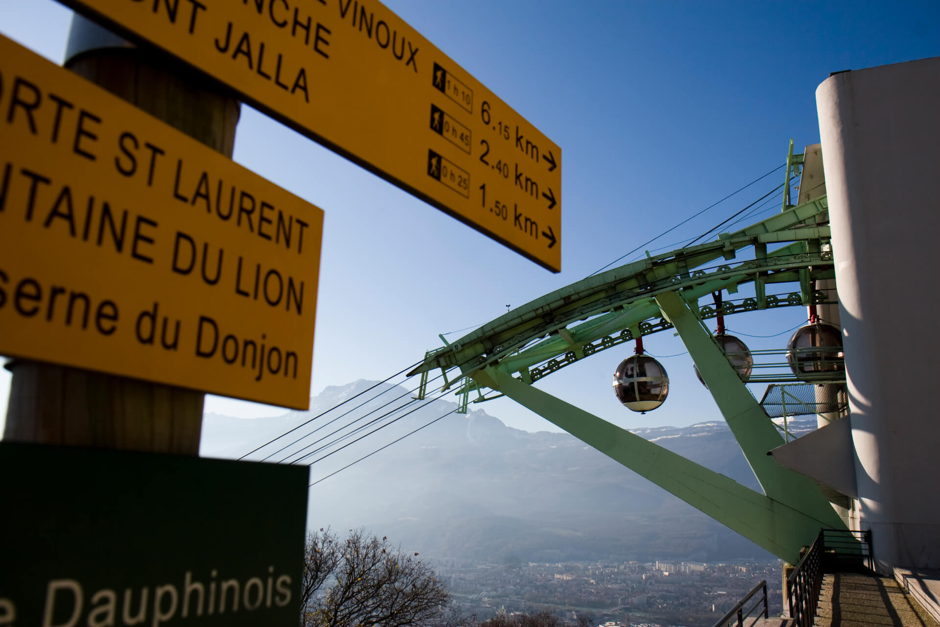
The Bastille from Saint-Laurent side
- 30 to 45 minutes downhill
- 45 minutes to 1,15 hour for the ascent
- Elevation gain: 300m
- Paths and stairs
- Direction « Porte Saint-Laurent »
The Bastille Porte de France
- 20 to 40 minutes downhill
- 40 minutes to 1 hour for the ascent
- Elevation gain: 300m
- Paths and stairs
- Direction « Porte de France »
Promenade de la Poudrière
- 30 minutes loop with 50 m of elevation gain
- Or 1 hour down with 230 m of elevation gain
- Paths and stairs
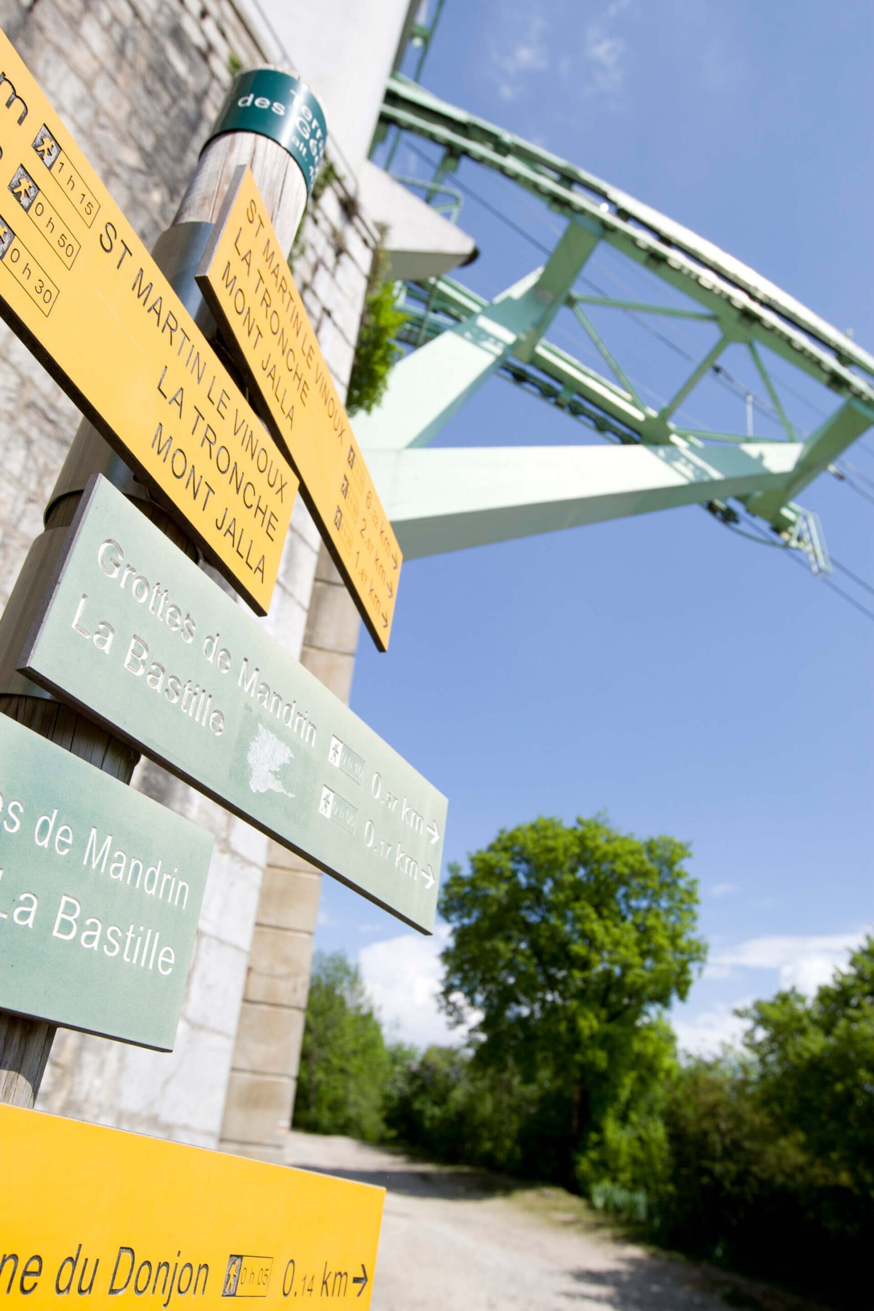
From the horseman to the Mandrin’s cave
- 30 minutes
- 30 m of elevation gain
- Underground stairs with more than 260 steps
Download the map of the Bastille paths
Get even higher!
Le Mont Jalla, national mountain troop memorial
- 30 minutes
- 140 m elevation gain
- Path
- Panorama from the Chartreuse in the northeast to the Voreppe gap to the northwest
The Bastille side Natural Regional park
- From 2 to 4 hours up to several days
- Southern gateway to the Chartreuse Natural Park
- Several hiking destinations to Saint-Martin-le-Vinoux, La Tronche or Mont Rachais
Orienteering Enthusiast?
The orienteering courses at La Bastille are currently being renovated. They are created in partnership with the Département de l’Isère, the Régie du Téléphérique de Grenoble-Bastille, the Auvergne-Rhône-Alpes Orienteering League (LAURACO), and the Grenoble Alpes Métropole Tourism Bureau (AGA).
Three courses will soon be available around La Bastille and its cable car:
- The Ludic course
- The Heritage course
- The Hiking-Trail course
They will be available in June 2026.
The goal of orienteering is to navigate using natural and man-made features to find checkpoints. You have a map to do this. At each checkpoint you find, stamp your card. The first one to collect all the stamps wins!
Maps will be available soon for free upon request: at the Grenoble Tourism Bureau, at the cable car ticket office, or at the Maison de la Montagne. Maps will also be available soon for free download below.
Orienteering routes
Practical information
The Bastille trails are not accessible to baby carriages or bicycles.
At night, the “Saint-Laurent” side trail is the only pedestrian route allowing access to the Fort or to descend back to the city.
Opening hours for the Bastille Fort gate:
Between 9:00 PM and 6:00 AM when the cable car is closed in the evening.
Between midnight and 6:00 AM when the cable car is open in the evening.
Opening and closing hours for the Jardin des Dauphins gate:
All year round: opening at 8:00 AM and closing at 9:00 PM.
Safety rules:
You use these trails at your own risk. Choose the route suited to your physical and technical abilities.
Check the weather conditions before setting out. In case of bad weather, postpone your outing.
Recommandations :
Pick up your waste, leave nothing behind.
Respect the wildlife and flora, stay on the marked paths.
Trail Routes for Experienced Athletes
Starting from the Porte Saint-Laurent, 3 routes are offered depending on the difficulty level: easy, moderate, and difficult.
EASY Route
- Distance : 4,5 km
- Elevation gain : 214 m
- Highest/lowest point : 217 m/421 m
- Technicality : Very accessible (stairs)
MEDIUM Route
- Distance : 10,3 km
- Elevation gain : 718 m
- Highest/lowest point : 217 m/930 m
- Technicality : Low
DIFFICULT Route
- Distance : 17.5 km
- Elevation gain : 1030 m
- Highest/lowest point : 217 m/1031 m
- Technicality : Mid